VarCity - City Surveyed in 4D A project by the ETH (Technical University) Zürich sees the city as a research object and uses Cinema 4D to visualize the data it gathers.
Cities as living space play an important role in our society and offer a wide range of aspects that can be researched in order to better understand them and make city life better. Buildings, streets, parks, rivers, residents, traffic and much more combine to comprise an average city. The VarCity Project, an ambitious project by the ETH Zürich, was initiated by Professor Luc Van Gool and is directed by Dr. Hayko Riemenschneider. The project’s fundamental idea was to create an accurate reconstruction of the city using freely accessible images from social networks and public webcams and to use the continuous stream of images in numerous ways.
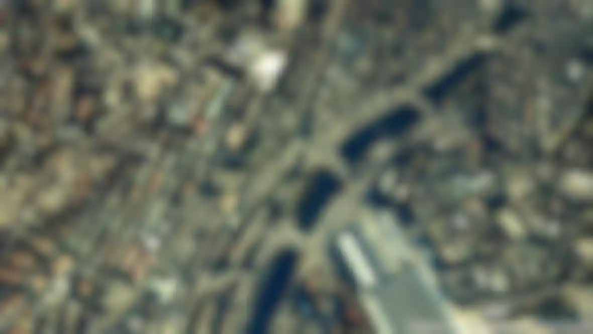
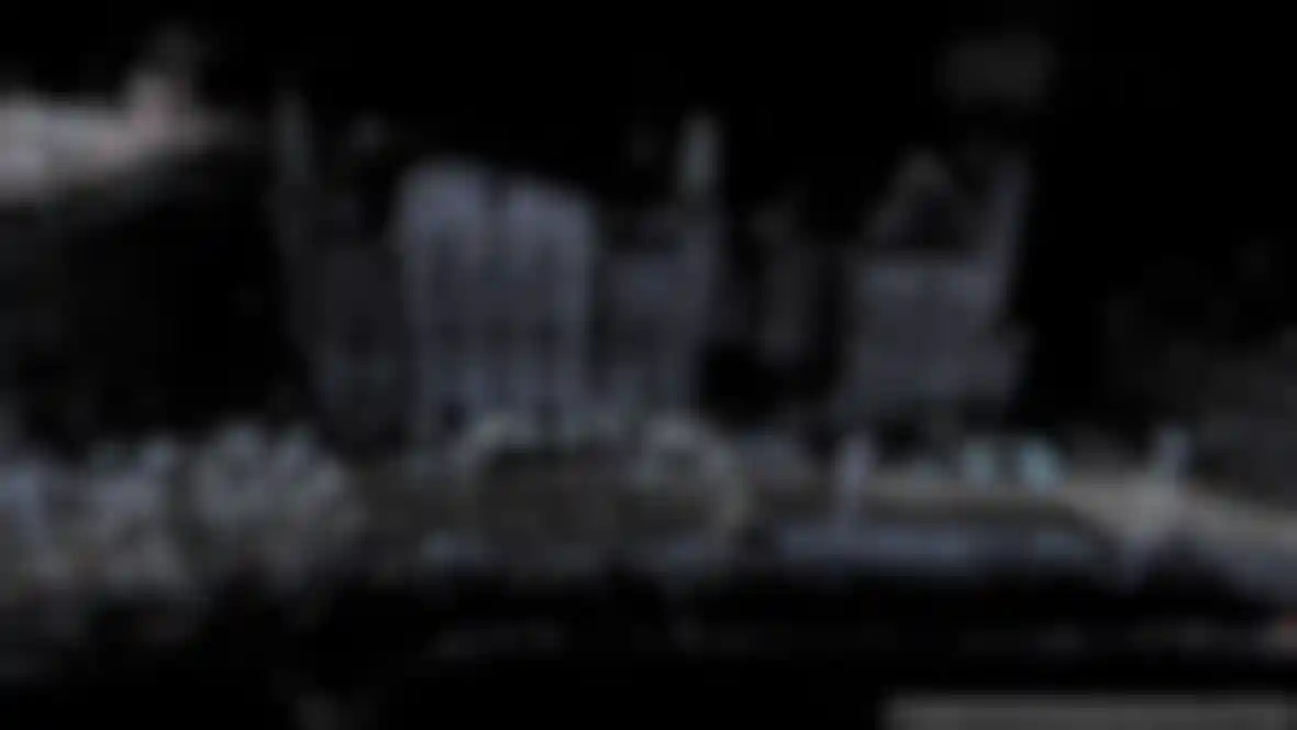
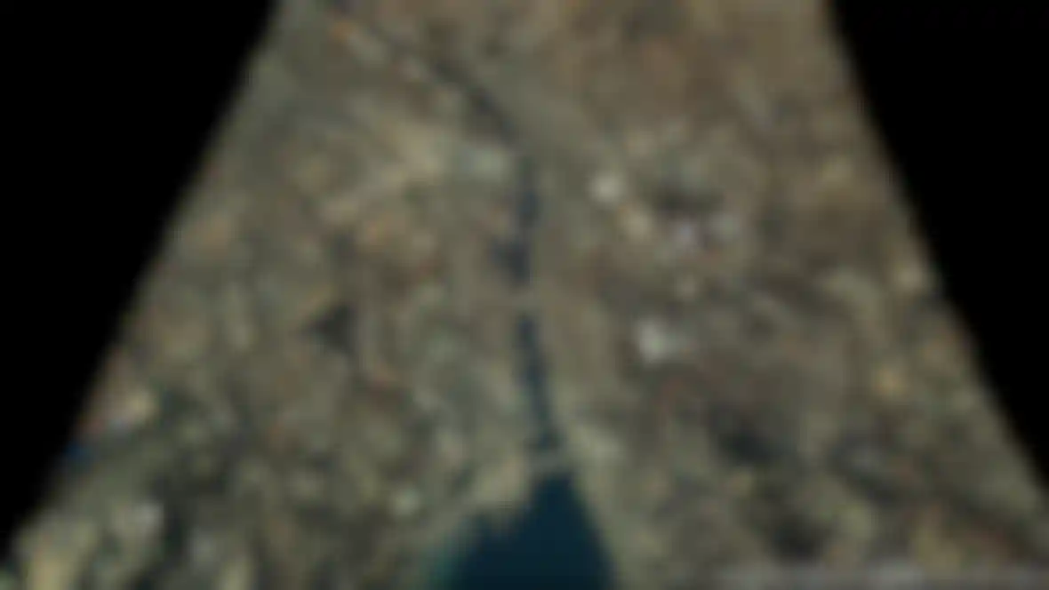
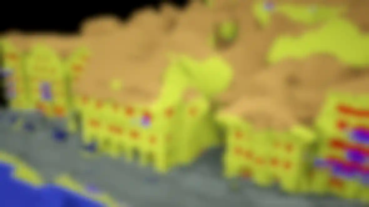
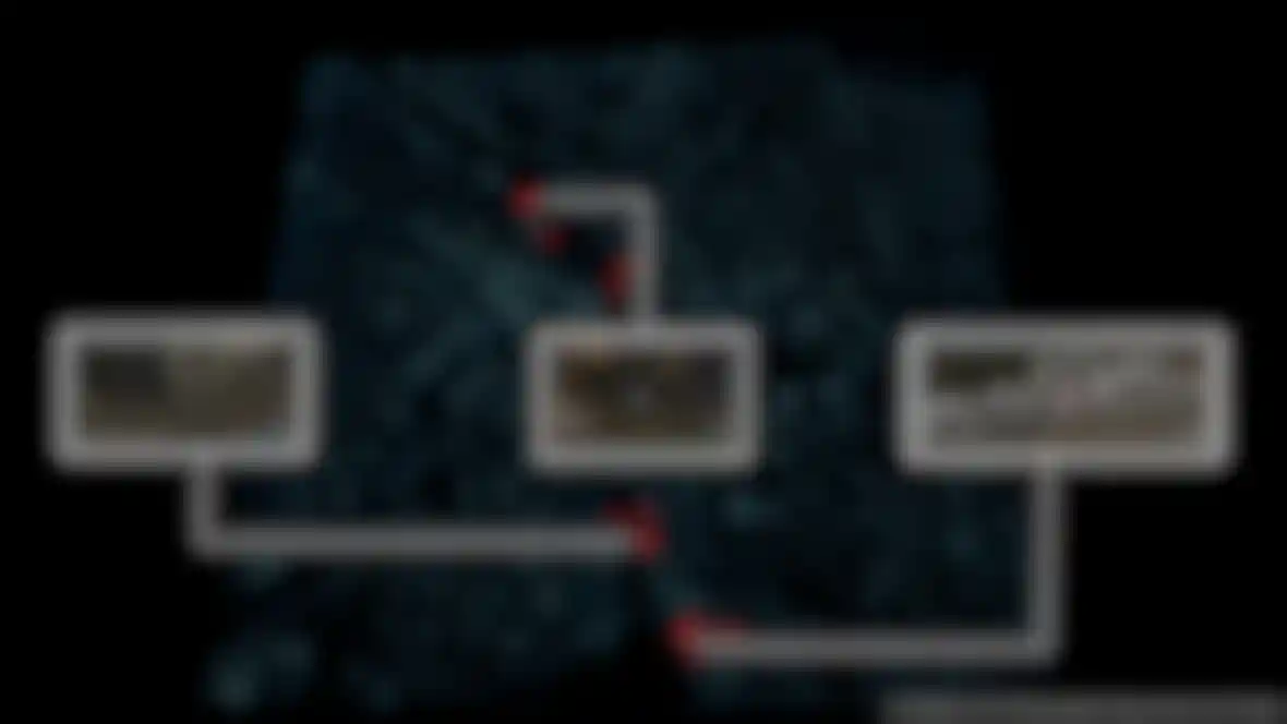
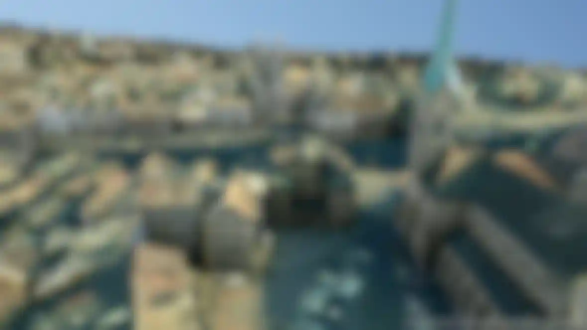
To begin with, a series of high-resolution aerial images to which proprietary algorithms were applied were used to create a poin cloud that was in turn converted to an accurate, textured 3D model. The resulting quality would have been sufficient for applications such as navigation systems or even for city planning but the makers of VarCity wanted more. Specially-equipped cars drove through the city, meticulously photographing their environment. The data was combined with additional image material and existing 3D material to create a detailed model of the city.
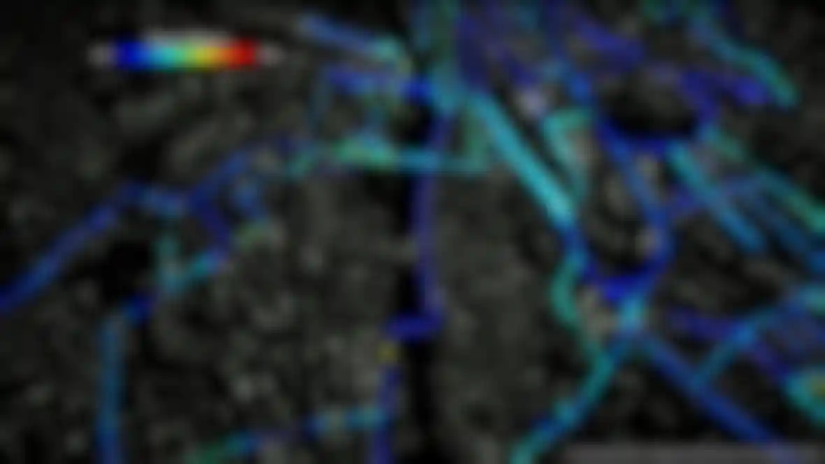
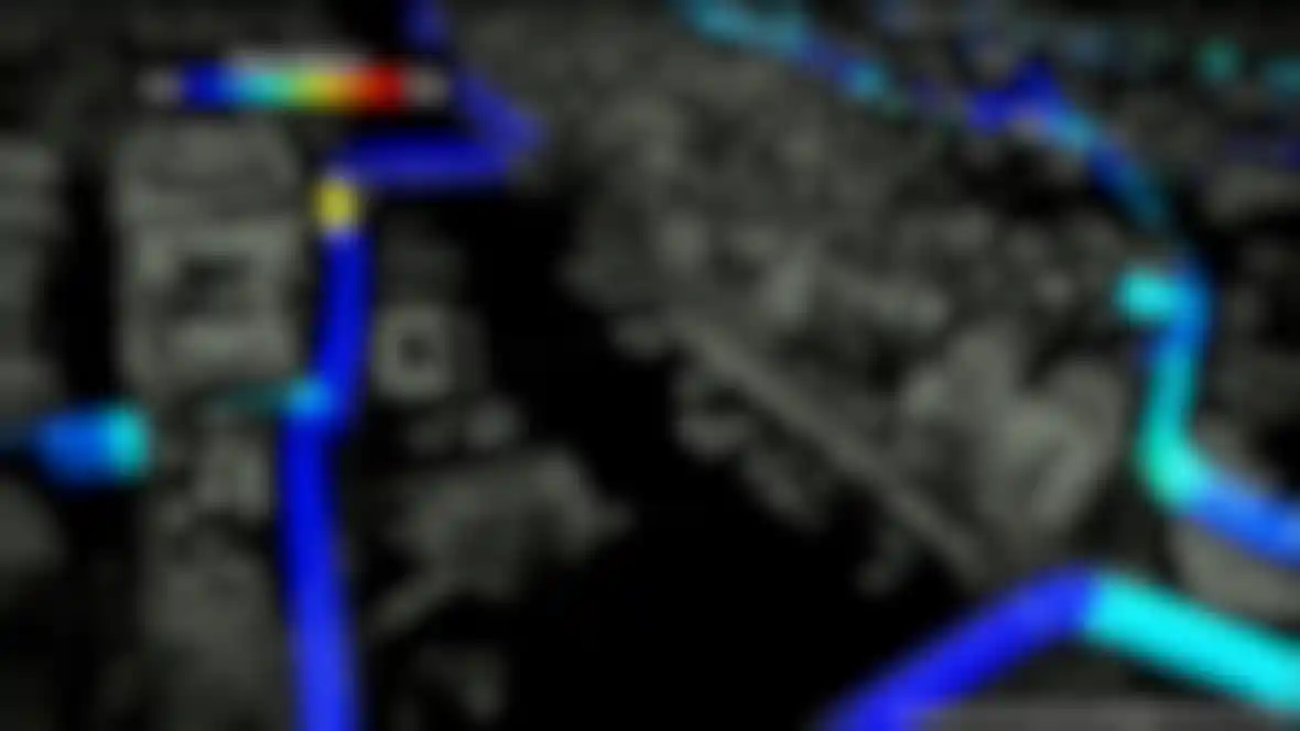
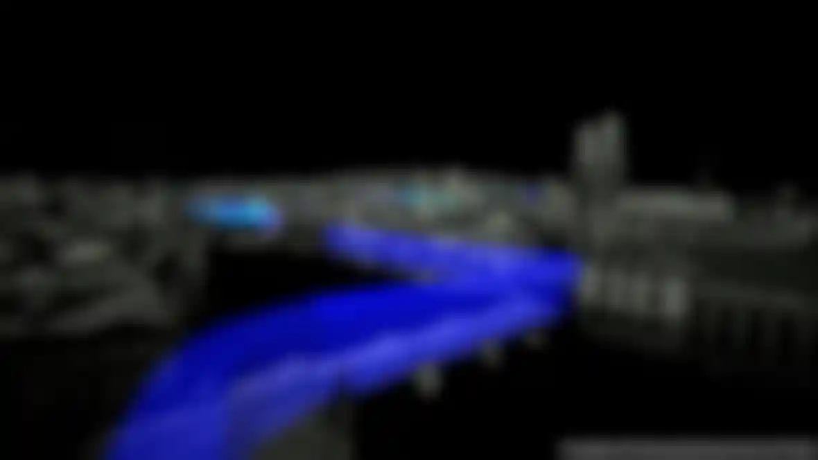
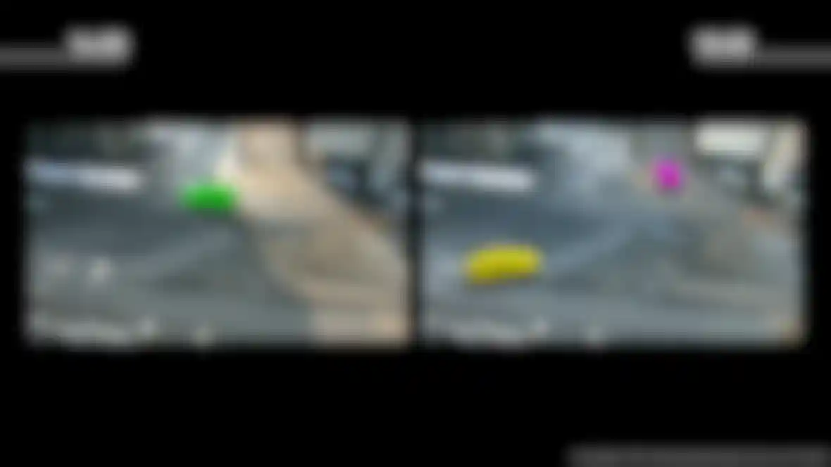
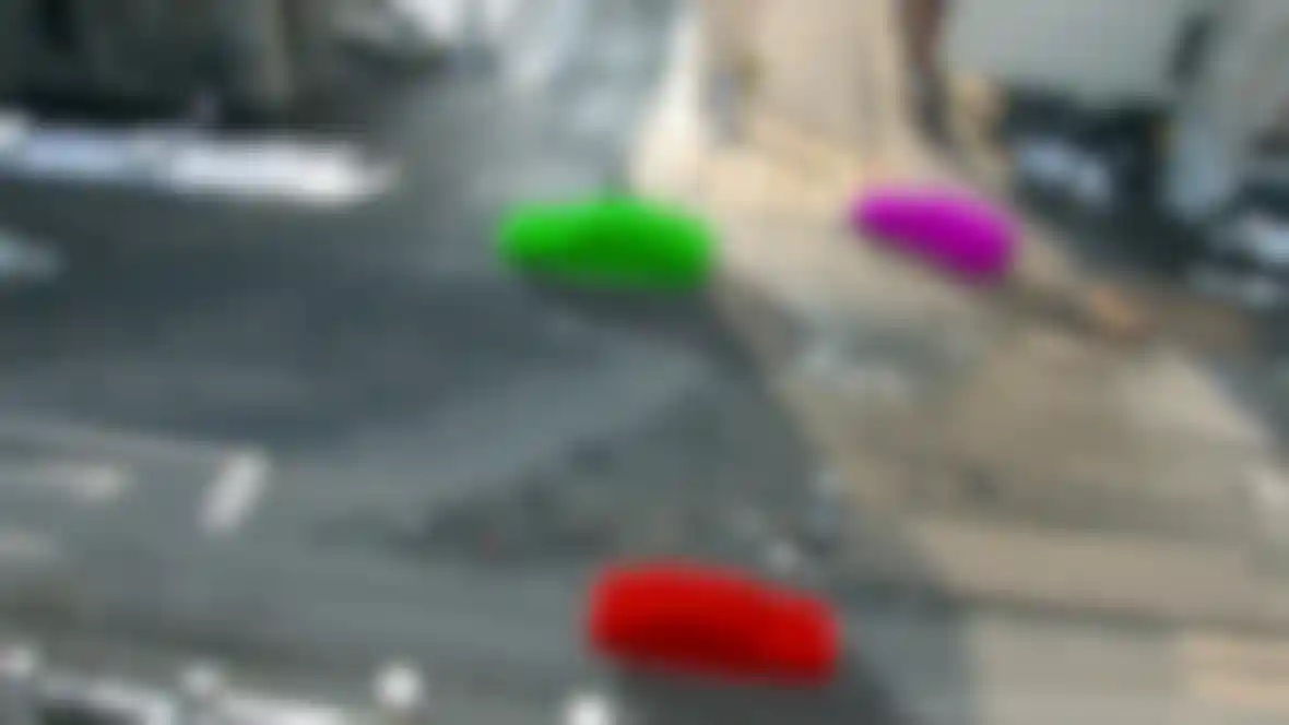
The scanned images from the webcams were used to fine-tune the 3D model and the data collected was also used to determine the amount of traffic in the city. The system is aware of how many vehicles a particular section of the city has and how many parking spots are available, which can be useful if VarCity is used for more than just navigation, e.g., for city planning or even a parking guidance system.
When Carlos Eduardo Porto de Oliviera joined the project, a lot of data had already been collected that could only be understood by those with a scientific background. Carlos was given the job of making this information understandable for the average user. A proprietary script was used to convert the original .PLY files to .OBJ so they could be opened in Cinema 4D. The massive amount of geometry in particular meant that Carlos had to test the scripts first, especially since UV maps were generated automatically. In the end, the team had a tool that made it possible to open the converted data in Cinema 4D.
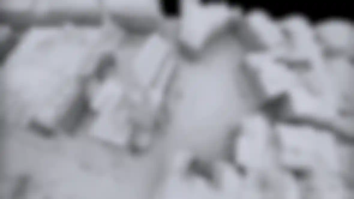
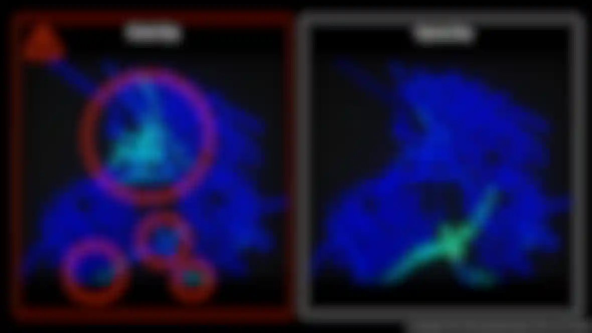
When the aerial images were converted to models, the buildings’ shadows were being interpreted incorrectly by the algorithms that were used to generate the models. To solve this, an application was developed that automatically corrected the models based on additional image material. This is how the graphics were created that were used in the video that explains what the VarCity Project is.
In the end, this system can be used as a data resource for numerous applications: navigation systems, automated tourist guides, particle systems and much more can be run using this data. Since the feasibility of using Cinema 4D for converting the data in images is being determined in the test phase, Carlos only hast to find out the extent to which Cinema 4D can be used for such applications.